
Fail:Belarus adm location map.svg

Algfail (SVG-fail, algsuurus 1626 × 1451 pikslit, faili suurus: 238 KB)
| See fail ja sellest kastist allapoole jääv kirjeldus pärinevad kesksest failivaramust Wikimedia Commons. | Faili lehekülg Commonsis |
Lühikirjeldus
| Kirjeldus |
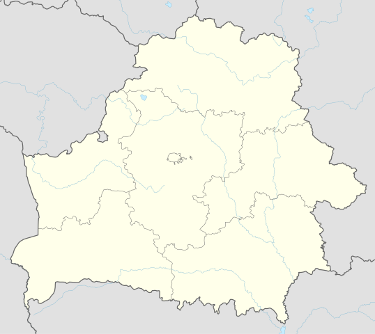
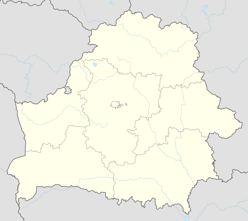
Deutsch: Positionskarte von Weißrussland
English: Location map of Belarus
|
||||||||||||
| Kuupäev | |||||||||||||
| Allikas |
Own work using:
|
||||||||||||
| Autor | NordNordWest | ||||||||||||
| SVG genesis | See vektorkujutis on valmistatud rakendusega Adobe Illustrator
|
||||||||||||

Litsents
Usage of this file with:

explanatory notes: Legally binding is only the full legalcode. For a free usage I recommend to respect the following licence conditions:
1. Provide my name as given above: NordNordWest,
2. a copy of, or the URI for, the applicable license: https://creativecommons.org/licenses/by-sa/3.0/de/legalcode,
3. the title of the work,
4. in the case of an adaptation, a credit identifying the use of the work in the adaptation.
This license and the rights granted hereunder will terminate automatically upon any breach by you of the terms of this license. Any of the above conditions can be waived if you get permission from the copyright holder. If you have questions or wish differing conditions, please contact me through nnwest or my discussion page ![]() t-online.de
t-online.de
- Tohid:
- jagada – teost kopeerida, levitada ja edastada
- kohandada – valmistada muudetud teoseid
- Järgmistel tingimustel:
- omistamine – Pead materjali sobival viisil autorile omistama, tooma ära litsentsi lingi ja märkima ära, kas on tehtud muudatusi. Sobib, kui teed seda mõistlikul viisil, kuid seejuures ei tohi jääda muljet, et litsentsiandja tõstab esile sind või seda, et sina materjali kasutad.
- sarnaselt jagamine – Kui töötled, kujundad ümber või arendad materjali edasi, siis pead oma töö levitamiseks kasutama sama litsentsi, mille all on algupärand, või ühilduvat litsentsi.

Faili ajalugu
Klõpsa kuupäeva ja kellaaega, et näha sel ajahetkel kasutusel olnud failiversiooni.
| Kuupäev/kellaaeg | Pisipilt | Mõõtmed | Kasutaja | Kommentaar | |
|---|---|---|---|---|---|
| viimane | 6. mai 2016, kell 12:51 | | 1626 × 1451 (238 KB) | NordNordWest | c |
| 5. mai 2016, kell 19:52 |  | 1626 × 1451 (842 KB) | NordNordWest | c | |
| 10. september 2014, kell 22:04 |  | 1626 × 1451 (249 KB) | NordNordWest | c | |
| 10. september 2014, kell 21:54 |  | 1626 × 1451 (250 KB) | NordNordWest | == {{int:filedesc}} == {{Information |Description= {{de|1=Positionskarte von Weißrussland}} {{en|1=Location map of Belarus}} {{Location map series N |top=56.4 |bottom=51.1 |left=22.9 |right=33.0 }} |Source={{Own using}} * United States National Imager... |
Faili kasutus
Seda faili kasutab enam kui 100 lehekülge. Järgmises loendis on näidatud ainult esimesed 100 lehekülge, mis faili kasutavad. Kogu loetelu on saadaval.
- Arechaŭsk
- Asintorf
- Astraviec
- Asvieja
- Ašmiany
- Babrujsk
- Bahušeŭsk
- Baranavičy
- Baravucha
- Barań
- Baruny
- Barysaŭ
- Bałbasava
- Biahoml
- Biarozaŭka
- Bieniakoni
- Biešankovičy
- Bobr
- Brasłaŭ
- Brest (Valgevene)
- Dokšycy
- Druck
- Druja
- Dubroŭna
- Dziatłava
- Dzisna
- Gomel
- Grodna
- Hajciuniški
- Halšany
- Haradok
- Hiermanavičy
- Hierviaty
- Hudahaj
- Hłusk
- Hłybokaje
- Iŭje
- Janavičy
- Jeziaryšča
- Juraciški
- Kamai
- Kazłoŭščyna
- Kobryn
- Kochanava
- Kopyś
- Kreva
- Krulaŭščyna
- Lepiel
- Lozna
- Lubča
- Magiljov
- Minsk
- Miory
- Navahrudak
- Navajelnia
- Navapołack
- Novałukoml
- Obal
- Opsa
- Orša
- Padsviłle
- Pastavy
- Pieršamajski
- Pinsk
- Pleščanicy
- Polatsk
- Raduń
- Rajca
- Rasony
- Ruba (Valgevene)
- Ružany
- Salihorsk
- Sianno
- Sirocina
- Smarhoń
- Suraž (Valgevene)
- Słabodka
- Słuck
- Talačyn
- Usielub
- Uzda
- Uła
- Ušačy
- Varapajeva
- Varniany
- Vidzy
- Vierchniadźvinsk
- Vietryna
- Vitsebsk
- Višnieva
- Voranava
- Zalesse
- Čašniki
- Łahojsk
- Łukoml
- Łyntupy
- Šacak
- Šarkaŭščyna
- Šumilina
- Žabinka
Vaata veel linke, mis sellele failile viitavad.
Globaalne failikasutus
Järgmised muud vikid kasutavad seda faili:
- Faili kasutus vikis af.wikipedia.org
- Faili kasutus vikis als.wikipedia.org
- Faili kasutus vikis ast.wikipedia.org
- Aeropuertu de Maguilov
- Minsk
- Raión de Berazino
- Raión de Chervyen
- Raión de Dzyarzhynsk
- Raión de Kapyl
- Raión de Kletsk
- Raión de Krupki
- Raión de Lagoysk
- Raión de Maladzyechna
- Raión de Minsk
- Raión de Myadzel
- Raión de Nesvizh
- Raión de Saligorsk
- Raión de Slutsk
- Raión de Smalyavichy
- Raión de Staryadarogui
- Raión de Valozhyn
- Raión de Vileyka
- Brest (Bielorrusia)
- Gómel
- Vítebsk
- Maguilov
- Grodno
- Borísov (Minsk)
- Babruisk
- Saligorsk
- Mazyr
- Orsha
- Pinsk
- Baránavichi
- Módulu:Mapa de llocalización/datos/Bielorrusia
- Módulu:Mapa de llocalización/datos/Bielorrusia/usu
- Aeropuertu Internacional de Minsk
- Aeropuertu de Gómel
- Žodzina
- Yeshivá de Volozhin
- Volozhyn
- Mir (Bielorrusia)
- Faili kasutus vikis azb.wikipedia.org
- Faili kasutus vikis ban.wikipedia.org
- Faili kasutus vikis be.wikipedia.org
Vaata selle faili globaalset kasutust.