
Fail:The Ship Keyingham.jpg
The_Ship_Keyingham.jpg (640 × 474 pikslit, faili suurus: 81 KB, MIME tüüp: image/jpeg)
| See fail ja sellest kastist allapoole jääv kirjeldus pärinevad kesksest failivaramust Wikimedia Commons. | Faili lehekülg Commonsis |
Lühikirjeldus
| Kirjeldus |
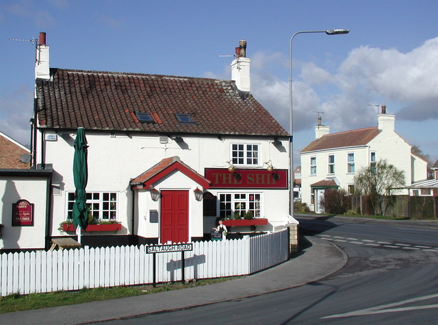
English: The Ship, Keyingham, East Riding of Yorkshire, England. This unassumingly named pub on the corner of Saltaugh Road and Main Street gets its title from one fleeting moment when the village of Keyingham was of some interest to historians.
|
| Kuupäev | |
| Allikas | From geograph.org.uk |
| Autor | Paul Glazzard |
| Luba (Faili edasikasutus) |
Creative Commons Attribution Share-alike license 2.0 |
| Omistamine (litsentsi järgi nõutav) | Paul Glazzard / The Ship, Keyingham / |
| Kaamera asukoht | | See ja teised pildid sellest paigast lehel: OpenStreetMap |
|---|
Litsents

|
See pilt pärineb projekti Geograph kogust. Pildistaja andmed leiad selle foto leheküljelt Geographi võrgukohas. Pildi autoriõiguse omanik on Paul Glazzard ning see kuulub Creative Commonsi litsentsi Attribution-ShareAlike 2.0 alla.
|
- Tohid:
- jagada – teost kopeerida, levitada ja edastada
- kohandada – valmistada muudetud teoseid
- Järgmistel tingimustel:
- omistamine – Pead materjali sobival viisil autorile omistama, tooma ära litsentsi lingi ja märkima ära, kas on tehtud muudatusi. Sobib, kui teed seda mõistlikul viisil, kuid seejuures ei tohi jääda muljet, et litsentsiandja tõstab esile sind või seda, et sina materjali kasutad.
- sarnaselt jagamine – Kui töötled, kujundad ümber või arendad materjali edasi, siis pead oma töö levitamiseks kasutama sama litsentsi, mille all on algupärand, või ühilduvat litsentsi.
Faili ajalugu
Klõpsa kuupäeva ja kellaaega, et näha sel ajahetkel kasutusel olnud failiversiooni.
| Kuupäev/kellaaeg | Pisipilt | Mõõtmed | Kasutaja | Kommentaar | |
|---|---|---|---|---|---|
| viimane | 10. veebruar 2010, kell 22:35 | | 640 × 474 (81 KB) | Keith D | == {{int:filedesc}} == {{Information |Description={{en|1=The Ship, Keyingham, East Riding of Yorkshire.<br />This unassumingly named pub on the corner of Saltaugh Road and Main Street gets its title from |
Faili kasutus
Seda faili ei kasuta ükski lehekülg.
Globaalne failikasutus
Järgmised muud vikid kasutavad seda faili:
- Faili kasutus vikis ang.wikipedia.org
- Faili kasutus vikis ceb.wikipedia.org
- Faili kasutus vikis en.wikipedia.org
- Faili kasutus vikis es.wikipedia.org
- Faili kasutus vikis fr.wikipedia.org
- Faili kasutus vikis lld.wikipedia.org
- Faili kasutus vikis pl.wikipedia.org
- Faili kasutus vikis sv.wikipedia.org
- Faili kasutus vikis tr.wikipedia.org
- Faili kasutus vikis www.wikidata.org