
Fail:Limestone County Courthouse, Athens, Alabama 01.jpg
Selle eelvaate suurus: 522 × 599 pikslit. Teised eraldusvõimed: 209 × 240 pikslit | 418 × 480 pikslit | 892 × 1024 pikslit.
Algfail (892 × 1024 pikslit, faili suurus: 164 KB, MIME tüüp: image/jpeg)
| See fail ja sellest kastist allapoole jääv kirjeldus pärinevad kesksest failivaramust Wikimedia Commons. | Faili lehekülg Commonsis |
|
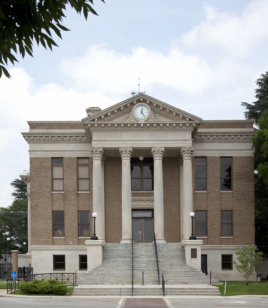
This is an image of a place or building that is listed on the National Register of Historic Places in the United States of America. Its reference number is 97001164. |
Lühikirjeldus
| Kirjeldus |
English: Limestone County Courthouse located in the center of downtown Athens, Alabama. |
||||||||||||||||||||||||||
| Kuupäev | |||||||||||||||||||||||||||
| Allikas |
|
||||||||||||||||||||||||||
| Autor |
|
||||||||||||||||||||||||||
| Luba (Faili edasikasutus) |
|
||||||||||||||||||||||||||


| Objekti asukoht | | See ja teised pildid sellest paigast lehel: OpenStreetMap |
|---|
Faili ajalugu
Klõpsa kuupäeva ja kellaaega, et näha sel ajahetkel kasutusel olnud failiversiooni.
| Kuupäev/kellaaeg | Pisipilt | Mõõtmed | Kasutaja | Kommentaar | |
|---|---|---|---|---|---|
| viimane | 10. mai 2011, kell 02:03 | | 892 × 1024 (164 KB) | Spyder Monkey |
Faili kasutus
Seda faili kasutab järgmine lehekülg:
Globaalne failikasutus
Järgmised muud vikid kasutavad seda faili:
- Faili kasutus vikis ar.wikipedia.org
- Faili kasutus vikis arz.wikipedia.org
- Faili kasutus vikis azb.wikipedia.org
- Faili kasutus vikis az.wikipedia.org
- Faili kasutus vikis ca.wikipedia.org
- Faili kasutus vikis ceb.wikipedia.org
- Faili kasutus vikis ce.wikipedia.org
- Faili kasutus vikis cy.wikipedia.org
- Faili kasutus vikis dag.wikipedia.org
- Faili kasutus vikis da.wikipedia.org
- Faili kasutus vikis de.wikipedia.org
- Faili kasutus vikis de.wikivoyage.org
- Faili kasutus vikis en.wikipedia.org
- Faili kasutus vikis en.wikivoyage.org
- Faili kasutus vikis es.wikipedia.org
- Faili kasutus vikis eu.wikipedia.org
- Faili kasutus vikis fa.wikipedia.org
- Faili kasutus vikis fr.wikipedia.org
- Faili kasutus vikis ga.wikipedia.org
- Faili kasutus vikis he.wikipedia.org
- Faili kasutus vikis ht.wikipedia.org
- Faili kasutus vikis hu.wikipedia.org
- Faili kasutus vikis hy.wikipedia.org
- Faili kasutus vikis io.wikipedia.org
- Faili kasutus vikis it.wikipedia.org
- Faili kasutus vikis ko.wikipedia.org
- Faili kasutus vikis lld.wikipedia.org
- Faili kasutus vikis mg.wikipedia.org
- Faili kasutus vikis mr.wikipedia.org
Vaata selle faili globaalset kasutust.