
Fail:Lesotho rel location map.svg

Algfail (SVG-fail, algsuurus 765 × 765 pikslit, faili suurus: 770 KB)
| See fail ja sellest kastist allapoole jääv kirjeldus pärinevad kesksest failivaramust Wikimedia Commons. | Faili lehekülg Commonsis |

Lühikirjeldus
| Kirjeldus |
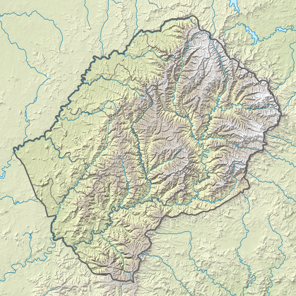
Deutsch: Positionskarte von Lesotho
English: Location map of Lesotho
|
||||||||||||
| Kuupäev | |||||||||||||
| Allikas |
Own work using:
|
||||||||||||
| Autor | NordNordWest | ||||||||||||
| Teised versioonid |
|
||||||||||||


|
This map has been made or improved in the German Kartenwerkstatt (Map Lab). You can propose maps to improve as well.
|
Litsents
Usage of this file with:

explanatory notes: Legally binding is only the full legalcode. For a free usage I recommend to respect the following licence conditions:
1. Provide my name as given above: NordNordWest,
2. a copy of, or the URI for, the applicable license: https://creativecommons.org/licenses/by-sa/3.0/de/legalcode,
3. the title of the work,
4. in the case of an adaptation, a credit identifying the use of the work in the adaptation.
This license and the rights granted hereunder will terminate automatically upon any breach by you of the terms of this license. Any of the above conditions can be waived if you get permission from the copyright holder. If you have questions or wish differing conditions, please contact me through nnwest or my discussion page ![]() t-online.de
t-online.de
- Tohid:
- jagada – teost kopeerida, levitada ja edastada
- kohandada – valmistada muudetud teoseid
- Järgmistel tingimustel:
- omistamine – Pead materjali sobival viisil autorile omistama, tooma ära litsentsi lingi ja märkima ära, kas on tehtud muudatusi. Sobib, kui teed seda mõistlikul viisil, kuid seejuures ei tohi jääda muljet, et litsentsiandja tõstab esile sind või seda, et sina materjali kasutad.
- sarnaselt jagamine – Kui töötled, kujundad ümber või arendad materjali edasi, siis pead oma töö levitamiseks kasutama sama litsentsi, mille all on algupärand, või ühilduvat litsentsi.

Faili ajalugu
Klõpsa kuupäeva ja kellaaega, et näha sel ajahetkel kasutusel olnud failiversiooni.
| Kuupäev/kellaaeg | Pisipilt | Mõõtmed | Kasutaja | Kommentaar | |
|---|---|---|---|---|---|
| viimane | 14. märts 2017, kell 00:20 | | 765 × 765 (770 KB) | NordNordWest | == {{int:filedesc}} == {{Information |Description= {{de|1=Positionskarte von Lesotho}} {{en|1=Location map of Lesotho}} {{Location map series N |stretching=116 |top=-28.3 |bottom=-31.0 |left=26.9 |right=29.6 }} |Source={{Own using}} * United States Nat... |
Faili kasutus
Seda faili kasutab järgmine lehekülg:
Globaalne failikasutus
Järgmised muud vikid kasutavad seda faili:
- Faili kasutus vikis ar.wikipedia.org
- Faili kasutus vikis ast.wikipedia.org
- Faili kasutus vikis az.wikipedia.org
- Faili kasutus vikis bg.wikipedia.org
- Faili kasutus vikis bn.wikipedia.org
- Faili kasutus vikis bs.wikipedia.org
- Faili kasutus vikis ceb.wikipedia.org
- Faili kasutus vikis ce.wikipedia.org
- Faili kasutus vikis cs.wikipedia.org
- Faili kasutus vikis da.wikipedia.org
- Faili kasutus vikis de.wikipedia.org
- Thabana Ntlenyana
- Lesotho
- Katse-Talsperre
- Maletsunyane-Wasserfall
- Vorlage:Positionskarte Lesotho
- Wikipedia:Kartenwerkstatt/Positionskarten/Afrika
- Sehlabathebe-Nationalpark
- Mohale-Talsperre
- Karoo-Ferrar-Magmaprovinzen
- Ts’ehlanyane-Nationalpark
- Königlicher Palast (Lesotho)
- Maboloka (Berg)
- Likhoele
- Makoaneng
- Sefikeng (Berg)
- Sefikaning (Berg)
- Benutzer:Shi Annan/Koeneng
- Tlapaneng
- Thaba Bosigo
- Faili kasutus vikis de.wikivoyage.org
- Faili kasutus vikis el.wikipedia.org
- Faili kasutus vikis en.wikipedia.org
Vaata selle faili globaalset kasutust.